

Levee location and design
Location

The Bundaberg East Levee will mainly run parallel to the southern bank of the Burnett River, from Walla Street in the Bundaberg city centre to the Millaquin Sugar Mill in Bundaberg East.
The alignment crosses two creeks: Saltwater Creek and a small unnamed creek near the Millaquin Sugar Mill, known locally as Distillery Creek.
The alignment design has been refined to address:
- vehicle and pedestrian access
- ground conditions (geotechnical) for foundations
- under and overground service locations.
We will need to acquire some land for the project. This will be limited to land parcels where the levee wall and associated infrastructure will be located. We will contact property owners directly.
Neighbourhood access
The levee’s design will maintain movement through the neighbourhood in non-flood conditions. This includes access to roads, businesses and residences for pedestrians, cyclists and vehicles.
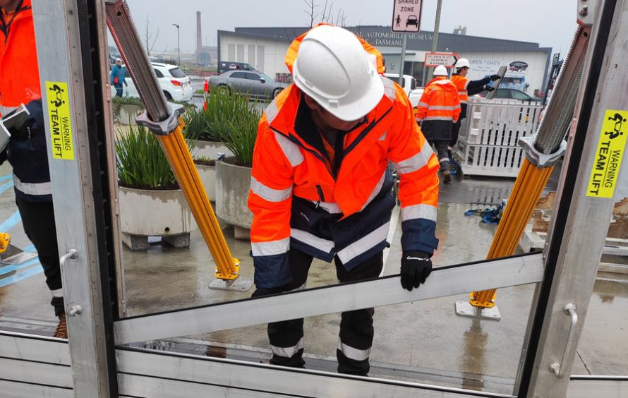
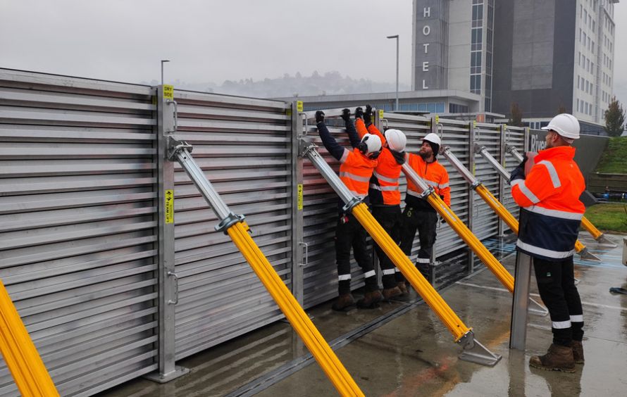
Openings in the levee wall – flood doors and flood gates – will provide this access.
In non-flood conditions, flood gates across the waterways at Saltwater Creek and Distillery Creek will remain open to allow water to flow. They can be closed during flood preparation.

Height
The levee is being designed to withstand river heights seen in the January 2013 flood caused by ex-Tropical Cyclone Oswald. This was the highest flood level recorded in Bundaberg’s history and higher than a 1% annual exceedance probability (AEP) flood event (1% (1 in 100) AEP has a 1% chance of occurring in any given year).
The levee wall’s overall crest height will be +9.50m Australian height datum (AHD) (the height of a point above mean sea level). While the Targo Street gauge recorded a peak height of +9.53m AHD in 2013, the proposed levee is further downstream of the gauge where levels are slightly lower.
The levee will be built in two sections and will follow the contours of the land. A taller wall will be needed in low-lying areas, and a shorter wall on higher ground.


Appearance
We will make more decisions about the wall’s features and appearance during the design process with community input. The current design stage is focused on levee alignment and function.
We will consider:
- the importance of the levee performing its flood protection role
- the needs of local stakeholders, including adjacent property owners, residents and businesses
- opportunities to enhance the wall appearance.